Catching Our Breath Between Cindy and Dennis
Friday, July 8th, 2005Atlanta should be in for a bit of better weather for the next day or two, as Cindy moves further to the North, and Dennis remains too far south to affect the area. The Weather Service has confirmed six tornadoes as a result of Cindy’s passing through the area. The strongest tornado, rated F2 on the Fujita scale, ran through Henry County for almost nine miles, and caused over $40 million worth of damage to Atlanta Motor Speedway. Additional tornadoes were observed in McDonough and Fayetteville, as well as further south in Meriwether and Coweta counties.
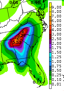
 The 5.14 inches of rain that fell at Atlanta’s Hartsfield Airport was the sixth largest one day total rain amount ever recorded for that location. The worst of the rain was in a band that stretched from south Fulton county, to south DeKalb, to south Gwinnett. Additional rainfall totals for Cindy include:
Athens: 4.12 inches
Gainesville: 1.92 inches
Marietta: 2.45 inches
Rome: 1.55 inches
The map on the right shows National Weather Service estimated 24 hour rainfall totals through 8 AM Thursday.
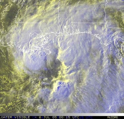
Meanwhile, Dennis has turned into a dangerous Category 4 hurricane. Currently located south of Cuba, the storm is moving northwest at 16 MPH. Maximum sustained winds are about 135 MPH.
The current official forecast calls for Dennis to strike the Gulf Coast near the Alabama-Florida border sometime late Sunday or early Monday, and then move inland towards the northwest. However, satellite models continue to disagree about the exact landing point and path of the storm, with some models calling for a more westerly path, while others have the storm more to the east. As far as our weather goes vis a vis Dennis, if it’s to the east, we will likely see a repeat of the rain that Cindy brought, while if it’s to the west, we will miss the worst of the effects.
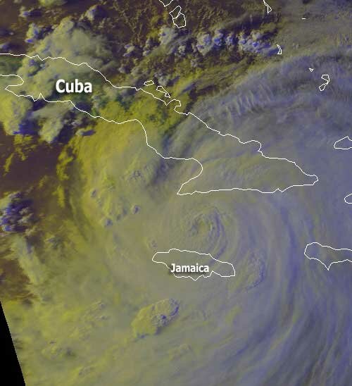
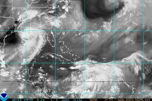
The picture above, courtesy of NOAA, shows a picture of Dennis as of about 7:30 PM Thursday, with the eye located just north of Jamaica.
Sphere: Related Content