Weather Service Releases Winter, 2008 Stats
Sunday, March 16th, 2008The number crunchers over at the National Climatic Data Center in Asheville have released the final figures for Winter 2008, running from December through February. In the United States and around the world, it was the coldest winter recorded since 2001, with an average US temperature of 33.2 degrees–still .2 degrees above the 20th century average. Much of the country saw above-normal precipitation, leading to plenty of snow in the north and west.
In February, US temperatures were near average, and precipitation was above normal. It was the 84th wettest and 63rd warmest of 114 years measured. In general, the west was cooler than average, while the east was warmer. In Georgia, it was the 88th warmest winter recorded, with the warmest temperatures relative to average in the northwest and southeast corners of the state.
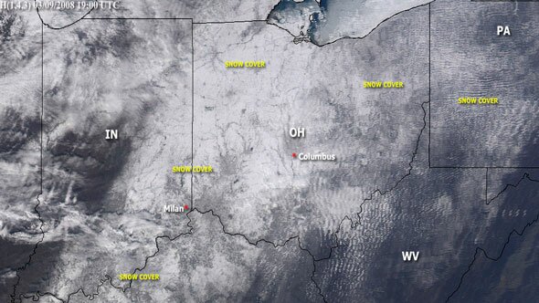
Sphere: Related Content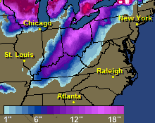 Here are some total snowfall amounts for the storm: